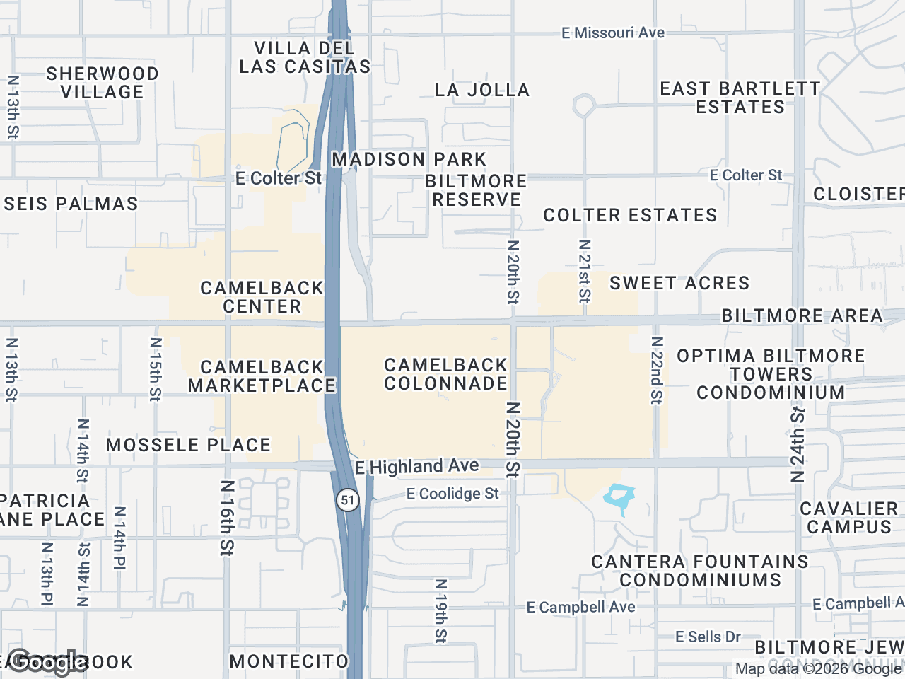



A retail landscape map can show prospective tenants and investors who is nearby, which categories are represented, and how a property connects to the surrounding retail ecosystem. This tutorial walks through a workflow for curating and presenting that information without treating the map as a substitute for demographic, traffic, or performance data.
When to Include a Retail Landscape Map
Include a retail landscape map when reviewed nearby-business context helps orient the subject property in an offering memorandum or leasing document. The map shows selected locations; it does not establish foot traffic, tenant synergy, neighborhood vitality, or likely buyer behavior.
Artwork arranged spatially can make selected businesses easier to identify than a text list, provided each business location and artwork candidate is verified.
A strong retail landscape map accomplishes three things:
- Shows selected, reviewed nearby businesses
- Shows category diversity (dining, services, grocery, fitness)
- Visually anchors your property as part of an established retail corridor
Step 1: Set Your Subject Property and Choose a Base Style
Start by dropping a pin at your listing address. This gives the surrounding items a clear geographic reference.
- Enter the property address in CRE Retail Maps to center the map
- Select your subject property marker style and add a custom label (property name, square footage, or "Subject")
- Choose a map style that matches your brokerage brand or OM design
- Adjust the visible map area to the location context relevant to the assignment; document the scope rather than assuming a fixed distance
The base style matters more than you'd think. A dark map with bright logos pops in PDF OMs. A light or silver style works better for printed flyers. Satellite view adds geographic context when terrain or parking configuration matters.
Step 2: Search the Visible Area for Retail Tenants
Instead of manually searching for each nearby business, use category search to return results in the visible map area. You decide which results belong on the map.
- Select a business category (restaurants, banks, grocery, fitness, medical, etc.)
- Pan and zoom until the visible area matches the geographic context you want to review
- Review the returned results and confirm the relevant locations
- Select the businesses that support the map's purpose, leaving irrelevant or stale results unselected
- Repeat for additional categories
The goal isn't to list every business within three miles. It's to curate a map surrounding retail tenants that tells a specific story about your location. A property near a Target, Trader Joe's, and Chipotle tells a different story than one surrounded by independent nail salons and check-cashing stores - and both stories have audiences.
Step 3: Review Brand Artwork and Use Leader Lines for Clarity
Once you've identified relevant nearby businesses, search brand-artwork candidates. Review each proposed match and confirm the business name and location before placing it; the library is a search aid, not a guarantee that every candidate is the correct mark for a particular location.
- Search for each tenant by name in the artwork library and review the candidates
- Drag the logo to its approximate map location
- Add leader lines connecting logos to precise points when clustering makes exact placement difficult
- Adjust line weight and color for visibility against your base map
Leader lines solve a real problem: in dense retail nodes, logos overlap and become unreadable. By offsetting logos and connecting them with clean lines to map points, you maintain both brand recognition and geographic accuracy.
For tenants not in the logo library, you can upload custom logos or use generic category icons. The key is consistency - every element should look intentional.
Step 4: Group Tenants into Labeled Clusters
A retail ecosystem map CRE professionals find useful goes beyond pin-dropping. It organizes information. Grouping containers let you cluster related tenants under a single label - helping viewers process the information faster.
- Draw a container around a group of related tenants (e.g., "Dining District" or "Medical Office Cluster")
- Label the container with a descriptive header
- Adjust container styling to complement your map aesthetic
- Use grouping to separate anchor tenants from inline shops, or retail from service tenants
This technique is especially valuable for mixed-use properties or large power centers where distinct zones exist. A single map might show a "Grocery Anchored" zone, a "Restaurant Row," and a "Financial Services" cluster - all visually separated but geographically accurate.
Grouping also helps when you're mapping a large trade area. Instead of 40 scattered logos, you present 5-6 labeled clusters that prospects can scan in seconds.
Step 5: Apply Custom Colors and Final Styling
The difference between a map that looks like a marketing asset and one that looks like a screenshot is styling coherence.
- Set your logo background colors to match your brokerage brand
- Adjust leader line colors for visibility (white lines on dark maps, dark lines on light maps)
- Ensure subject property markers stand out from tenant logos
- Check label readability at your intended export resolution
Consistent styling signals professionalism. When the map colors match the rest of your OM, the entire package feels considered and cohesive.
Step 6: Export Your Retail Landscape Map
With your map complete, export it in the format your marketing requires.
- For digital or print documents: Pro users can export a 2D PNG or JPG at custom dimensions up to 8,000 pixels
- For a photorealistic angled view: export a 3D image up to 4,096 pixels
- For document-ready output: choose among five PDF layouts and verify the details before distribution
The export should be sharp enough that logos remain recognizable at print size - no pixelation, no fuzzy text.
When to Use a Retail Landscape Map in Your Marketing
Not every listing needs a full ecosystem map. For properties where location is a primary selling point, however, the visual can give readers useful context near the front of an OM.
Use a retail landscape map when:
- Marketing to tenants who care about co-tenancy and foot traffic
- Pitching to investors who want evidence of retail corridor strength
- The property sits near recognizable credit tenants
- You're competing against other listings and need to differentiate
- The trade area has category diversity worth highlighting
For single-tenant NNN deals, a simpler map with a few key neighbors might suffice. For multi-tenant retail or mixed-use, the full ecosystem approach demonstrates the depth of the location's retail infrastructure.
---
The Free plan in CRE Retail Maps lets you build and preview up to three maps. Downloads and unlimited maps require Pro, currently $39 per month or $379 per year. Verify your selected businesses, artwork, and exported document before the OM goes out.
Related guides
- Mapping software for CRE brokers - Built for retail-landscape workflows
- Retail maps for OMs - Same techniques for OMs
CRE Retail Maps Editorial Team
VerifiedCRE Software & Industry Analysis
The CRE Retail Maps editorial team produces in-depth analysis of commercial real estate technology, retail market trends, and broker workflows. Our content is reviewed by retail brokers and industry practitioners with decades of combined experience covering grocery-anchored, power center, and lifestyle retail across major US markets.