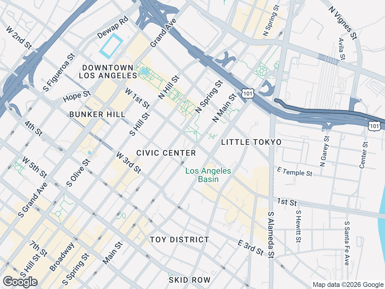




When you need a map for an offering memorandum, presentation, email, listing page, or print piece, choose the export for its final use. In CRE Retail Maps, downloads are a Pro feature: 2D PNG and JPG exports support custom dimensions up to 8,000 pixels, 3D image exports support up to 4,096 pixels, and PDF export offers five layouts. The Free plan is for building and previewing up to three maps and does not include downloads.
When to Export Retail Map PDF vs High-Res PNG
The format you choose depends entirely on where the map will live after export. PDF and PNG serve different purposes in a broker's workflow, and using the wrong one creates unnecessary headaches.
Use PDF when:
- Creating offering memorandums or flyers that will be printed
- Sending materials to clients who expect professional documents
- Archiving maps in a format that preserves layout regardless of device
- Submitting to listing platforms that require document uploads
Use PNG when:
- Embedding maps in PowerPoint or Google Slide presentations
- Posting to social media (LinkedIn property announcements, etc.)
- Including in email blasts where file size matters
- Uploading to MLS or commercial listing websites
- Using the map as a standalone digital image
CRE Retail Maps offers five PDF layouts plus flexible 2D and 3D image exports. Whichever format you choose, verify its property details, contact details, artwork, labels, and resolution in the final document before distribution.
How to Export Retail Map PDF Files for Offering Memorandums
PDF layouts provide a starting point for an offering memorandum, flyer, or standalone page. They do not remove the need for a final document review.
- Complete your retail map by adding all tenant logos, positioning the subject property marker, and organizing nearby businesses into labeled groups using drag-to-group containers.
- Select your preferred map style from the nine available options: Default, Subtle, Light, Dark, Retro, Silver, Night, Satellite, or Terrain.
- Navigate to the export menu, choose PDF, and select one of the five layouts.
- Review the preview to confirm leader lines connect cleanly from logos to map locations, and verify that your subject property label displays correctly.
- Download the PDF, place it in the intended workflow, and inspect the assembled document at its actual print or screen size.
If your downstream document has a specific trim size, bleed, color profile, or printer requirement, confirm compatibility before treating any generated PDF as production-ready.
Creating a High-Resolution 2D Map Image
The 2D exporter supports PNG and JPG with custom dimensions up to 8,000 pixels. PNG can be useful when lossless image quality matters; JPG can be useful when a smaller file is more important. Test both in the final application rather than assuming one format is always better.
- Finalize your map design, including all tenant logos, the subject property marker, and any grouped areas you want highlighted.
- Choose a map style appropriate for your destination - dark and night styles can look striking on screens, while light and silver styles maintain clarity when projected in conference rooms.
- Open the export panel and select PNG or JPG as your output format.
- Set custom dimensions for the actual destination, up to 8,000 pixels. Preserve the intended aspect ratio and avoid creating a file far larger than the document needs.
- Download the image to your device, ready to drop into a slide or document.
After export, zoom to the size the audience will see and check small labels, line weights, and artwork. Cropping or enlarging an image later can change readability.
Exporting a 3D Image
Photorealistic 3D scenes can be exported as PNG or JPG at custom dimensions from 200 to 4,096 pixels per side. Set and save the camera framing, review overlays and name tags, and confirm the preview before downloading.
Ensuring Retail Map Print Quality Across Formats
Resolution anxiety is real for brokers who've dealt with jagged artwork and fuzzy street labels on printed materials. These checks help you evaluate sharpness for the intended output:
For PDF exports, choose the appropriate layout and inspect the exported page in the document and printer workflow where it will be used.
For 2D image exports, set custom PNG or JPG dimensions up to 8,000 pixels. Use the smallest dimensions that remain readable at the intended placement size.
For 3D image exports, remember the maximum is 4,096 pixels per side. Check the saved camera view and overlays because the export reflects that scene.
Map style choice also affects perceived quality. Busy satellite views can look muddy when printed, while clean silver styles with strong contrast between elements tend to reproduce better on both office printers and professional print shops.
Why Branded PDF Templates Matter for Brokerage Marketing
Every piece of collateral you produce reflects on your brokerage - consistency isn't just aesthetics, it's brand equity. The PDF templates in CRE Retail Maps solve a common problem: maps that look like they came from different sources than the rest of your OM.
When using a PDF layout, consistency still depends on the account details and map content you supply. Review:
- Brokerage and contact details
- Property name and address
- Artwork selections and tenant status
- Colors, typography, margins, and placement alongside the rest of the document
A layout can reduce repetitive setup, but it does not guarantee brand compliance or accuracy. Have the document owner approve the final page.
Conclusion
Exporting retail maps comes down to matching format and dimensions to purpose, then reviewing the result. Pro offers five PDF layouts, 2D PNG/JPG exports up to 8,000 pixels, and 3D image exports up to 4,096 pixels. Build and preview on Free; upgrade to Pro when the map is ready to download.
Related guides
- Template gallery - Pre-built PDF templates
- All features - Current image and PDF export options
- Pricing - Exports unlock with the paid plan
CRE Retail Maps Editorial Team
VerifiedCRE Software & Industry Analysis
The CRE Retail Maps editorial team produces in-depth analysis of commercial real estate technology, retail market trends, and broker workflows. Our content is reviewed by retail brokers and industry practitioners with decades of combined experience covering grocery-anchored, power center, and lifestyle retail across major US markets.