


Deciding between a retail map vs aerial photo for your offering memorandum depends entirely on what story you need to tell investors. The best OMs use both - aerials to showcase the physical asset and surrounding infrastructure, and retail maps to highlight the tenant mix, brand proximity, and retail synergy that drives value.
Why the Retail Map vs Aerial Photo Debate Matters for Brokerage
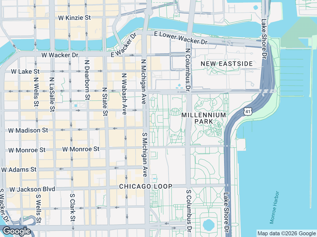
Your OM is a marketing document, not just a data packet. The visuals you choose dictate how potential buyers perceive a property's upside. An aerial photo offering memorandum conveys scale and physical context, while a styled retail map communicates market positioning and tenant strength. Using the wrong visual - or relying on just one - can leave critical value drivers invisible to buyers who are skimming dozens of deals.
Aerial Photos: Strengths and Limitations
What Aerial Photos Do Best
Aerial and satellite images provide a literal, overhead view of a property and its immediate surroundings. They excel at showing:
- Building footprints and physical layout of the subject property
- Parking ratios and lot configurations
- Proximity to major intersections, highways, and access points
- Adjacent land uses (vacant parcels, residential density, topography)
- Overall scale and shape of a shopping center or retail pad
For an out-of-state investor or 1031 buyer who has never walked the site, an aerial photo grounds them in the physical reality of the location. It answers the question: What does this place actually look like from above?
Where Aerials Fall Short
Aerials are inherently anonymous. From 5,000 feet, a strip center looks like a gray rectangle next to a road. Buyers can't identify whether that shadow across the street is a CVS or a shuttered RadioShack. Aerials don't communicate brand strength, co-tenancy dynamics, or the consumer draw of nearby national credit tenants - the exact factors that stabilize NOI and support a premium cap rate.
Styled Retail Maps: Strengths and Limitations
What Retail Maps Do Best
Retail maps transform a geographic area into a branded, tenant-forward visual. Instead of showing rooftops and pavement, they display recognizable logos - Starbucks, Target, Chase Bank, LA Fitness - pinned to their actual map locations. This gives buyers an instant read on:
- National credit tenant concentration surrounding the site
- Co-tenancy and synergy between complementary retailers
- Restaurant and service density that drives daytime and evening foot traffic
- Competitive overlap or gaps in the local market
A retail map tells the economic story. When a buyer sees five national brands within a half-mile radius, they immediately understand the retail gravity of the location - no demographic report required.
Where Retail Maps Fall Short
Retail maps are schematic, not photographic. They don't show building conditions, parking lot fullness, topography, or the physical relationship between structures. A buyer still needs to see the actual asset to underwrite physical risk. Retail maps also require the right styling to look professional - generic Google Maps screenshots with logo clutter can actually undermine your OM's credibility.
Retail Map vs Aerial Photo: Side-by-Side Comparison
| Feature | Aerial Photo | Styled Retail Map |
|---|---|---|
| Shows building footprints | Yes | No |
| Shows parking and site access | Yes | Limited |
| Identifies brand tenants | No | Yes |
| Shows tenant mix and synergy | No | Yes |
| Conveys physical condition | Yes | No |
| Highlights market positioning | No | Yes |
| Professional OM presentation | Moderate | High (when styled) |
| Requires additional context | Yes (tenant labels needed) | No (logos are self-evident) |
| Best for | Site overview pages | Location/tenant highlight pages |
Choosing the Best Map Type for OM Sections
When to Lead with an Aerial Photo
Place aerials on the introductory site pages - typically the first or second spread of the OM. This is where buyers form their first impression of the physical asset. An overhead shot with the subject property outlined in a bold border, major roads labeled, and key access points called out gives buyers the spatial orientation they need before they dig into financials.
When to Lead with a Retail Map
Place retail maps on the location and market analysis pages. This is where you sell the market, not the building. A styled retail map with brand logos proves tenant gravity and consumer draw. For inline tenants and single-tenant net-leased properties, the surrounding tenant mix is often the #1 value driver - sometimes more important than the building itself.
Why the Best OMs Layer Both
High-performing OMs typically include an aerial for physical context followed by a branded retail map for tenant and market context. This one-two punch answers both of the buyer's critical questions: What does it look like? and Why is this location economically relevant?
How to Create Retail Maps That Elevate Your OM
A generic satellite screenshot with pins doesn't belong in a seven-figure offering memorandum. You need a purpose-built tool designed for CRE marketing. CRE Retail Maps lets you build professional, logo-forward retail maps directly in your browser.
The Map Creation Workflow
- Set your subject property location and add a custom labeled marker
- Use the category search to auto-find nearby restaurants, banks, grocery stores, fitness centers, and other tenants
- Select from 1,000+ official brand logos (Starbucks, Target, CVS, Chase, Walgreens, and more) to pin to the map
- Group logos into drag-to-group containers labeled by category or proximity
- Choose a map style that matches your OM design - light, silver, dark, or satellite
- Add leader lines connecting brand logos to precise map locations
- Export as a high-res PNG (up to 4K) or use a branded PDF OM template
Final Thoughts on Whether to Use a Retail Map or Satellite Image
The retail map vs aerial photo question isn't an either/or decision for serious CRE brokers. Aerials ground buyers in physical reality. Retail maps sell them on market strength and tenant synergies. The most compelling OMs use both strategically - physical context up front, branded tenant context where it closes the deal. If your current OM workflow relies on screenshots and manually placed icons, CRE Retail Maps gives you a faster, more professional path to both. At $39/month for unlimited maps with official brand logos and 4K exports, it's a straightforward tool decision for brokers who want their marketing collateral to match the quality of their listings.
CRE Retail Maps Editorial Team
VerifiedCRE Software & Industry Analysis
The CRE Retail Maps editorial team produces in-depth analysis of commercial real estate technology, retail market trends, and broker workflows. Our content is reviewed by retail brokers and industry practitioners with decades of combined experience covering grocery-anchored, power center, and lifestyle retail across major US markets.